Areas and Communities · Richland County, with edges in Lexington and Kershaw
Columbia, South Carolina
The capital's in-town neighborhoods and the suburbs that feed the hospitals, the university and Fort Jackson.
- City in
- Richland County, with edges in Lexington and Kershaw
- Areas
- Central Columbia
Northeast Columbia
Forest Acres & Arcadia Lakes
East Columbia
South Columbia
Southeast Columbia - ZIP
- 29201–29229many ZIPs; a few cross county lines
- Schools
- Richland One and Richland Two serve most of the city; some addresses on its north-west edge are in Lexington-Richland Five
- Population
- 136,632city limits, 2020 Census
- Home value, city limits
- $264Kmedian owners' estimate, Census 2020–2024; area sale prices below
What Columbia actually is
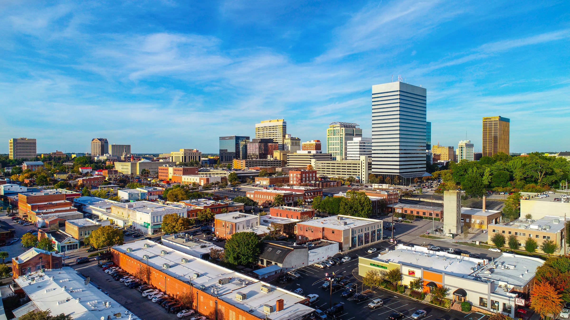
Columbia was founded in 1786 as a planned state capital, and the University of South Carolina opened there in 1805. Around the State House and the university sit the in-town neighborhoods; the Three Rivers Greenway follows the rivers through the city, West Columbia and Cayce; and Fort Jackson, the Army's largest training centre, is on the east side.
Drawn from USGS hydrography and Census boundaries; town positions are Census points. ▲ USGS lake gauge 02168500, the source of the lake level at the top of the page.
Interesting facts about Columbia
From the town, the county, the state and other primary sources, each linked.
History
Founded in 1786 as a planned state capital; the legislature first met there in 1790.
scencyclopedia.orgThe University of South Carolina was chartered in 1801 as South Carolina College and opened in 1805.
sc.eduFort Jackson is the Army's largest Initial Entry Training centre and trains about half of all new soldiers.
home.army.mil
Lifestyle
The Three Rivers Greenway, a National Recreation Trail, runs about 15.5 miles through Columbia, West Columbia and Cayce.
experiencecolumbiasc.comSoda City Market fills the 1300 to 1700 blocks of Main Street every Saturday morning, all year.
sodacitysc.comCongaree National Park, in Hopkins, is within 30 miles of the city, with more than 25 miles of trails.
nps.gov
Town services
SCDOT's Carolina Crossroads project is rebuilding the I-20, I-26 and I-126 corridor: seven interchanges and 43 new bridges.
scdotcarolinacrossroads.comMajor hospitals include Prisma Health Richland, MUSC Health Columbia Medical Center Downtown, and the Dorn VA Medical Center.
prismahealth.org
Columbia by the numbers
What sold, by area
| Area | Median sale price | Sales | Median days on market | For sale now | Months of supply |
|---|---|---|---|---|---|
| Central Columbia | $215,000 | 511 | 28 days | 156 | 3.6 months |
| Northeast Columbia | $289,000 | 2,718 | 32 days | 825 | 3.7 months |
| Forest Acres & Arcadia Lakes | $310,000 | 353 | 26 days | 122 | 4.3 months |
| East Columbia | $470,000 | 250 | 8 days | 68 | 3.4 months |
| South Columbia | $273,900 | 416 | 13 days | 107 | 3.1 months |
| Southeast Columbia | $253,000 | 649 | 32 days | 242 | 4.3 months |
All data is from the Consolidated Multiple Listing Service. InfoSparks © 2026 ShowingTime. Median price, sales and days on market (listing to accepted offer) over the 12 months to September 2026; homes for sale and months of supply at the end of it. Sale prices do not account for seller concessions. Changes from a year ago are calculated by Carolina Lake Homes from these figures. Aiken County's median price is year to date, from ShowingTime's Local Market Update, and its sales count is not shown beside the 12-month ones. Medians from fewer than 30 sales are marked small; fewer than 10 are not shown. Figures change as late sales are recorded.
The town itself
Sources: U.S. Census Bureau, American Community Survey 5-year estimates, 2020–2024; U.S. Census Bureau, 2020 Census, April 2020; Distances computed from downtown Columbia, straight line. Market figures change monthly and vary sharply by neighborhood and shoreline.
Questions about Columbia?
Send a question about the community, a neighborhood or a specific address.